

Services
Terrain Stability Assessments and Soil Erosion Assessments for resource roads and cutblocks
Landslide hazard and risk analysis for resource development
Landslide investigations and remediation prescriptions
Drainage plans including stream culvert sizing and crossing design for resource roads
Snow avalanche assessments
Geometric road design review and optimization
Post-wildfire natural hazards risk analysis
Recreational trail location and design assessments
Geotechnical Assessments

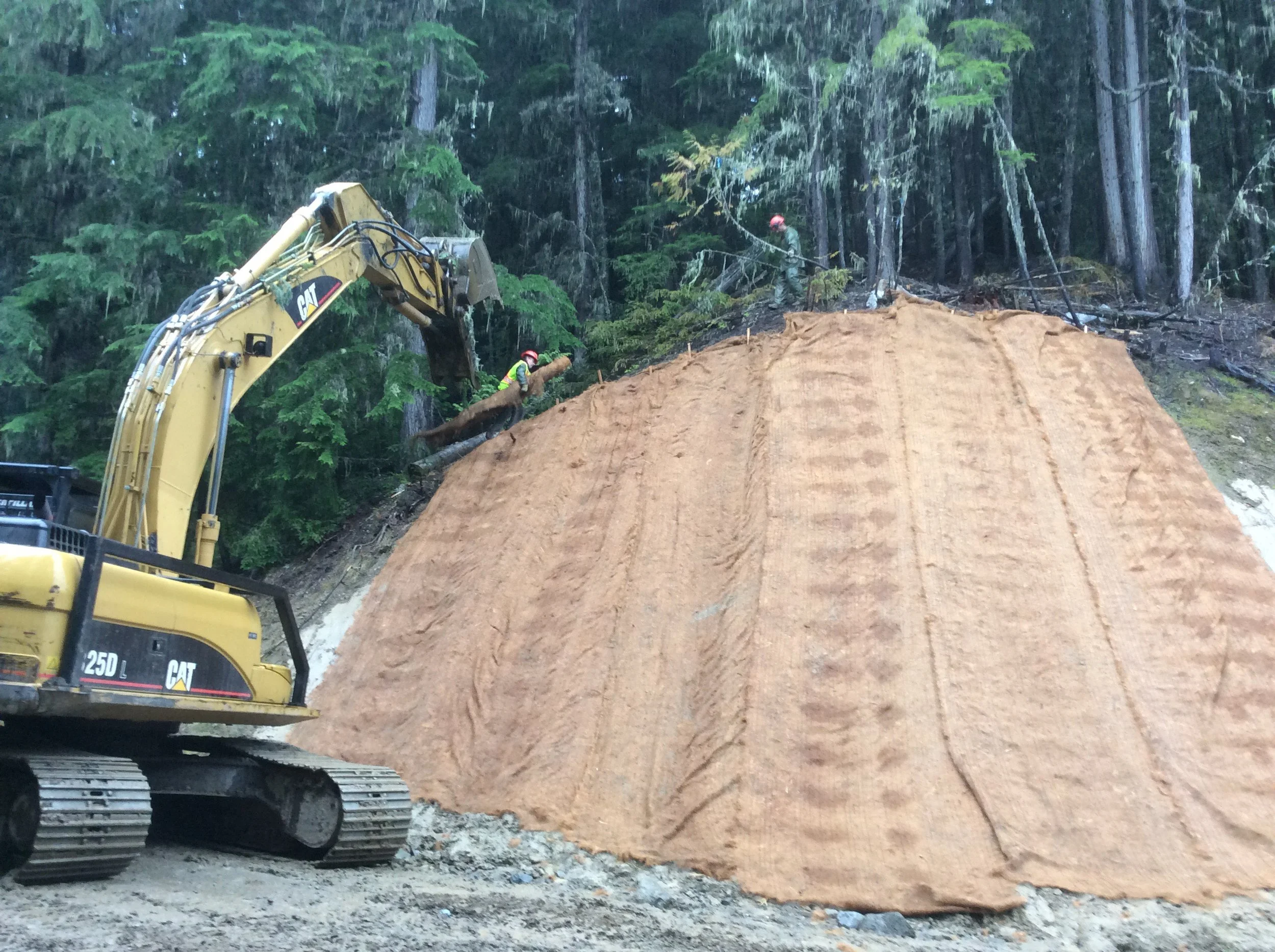
Resource Road Construction & Maintenance Supervision Services
Construction management services for resource road construction and maintenance major work projects
Resource road repair prescriptions and project supervision
Construction and geotechnical monitoring
Liason services between general contractors and clients
Aggregate Resource Development
Permit applications with Ministry of Energy, Mines and Low Carbon Innovation
Aggregate resources exploration and testing
Mine plans, pit development and reclamation plans
Pit development and supervision
Pit mapping and assessment

Air Photo interpretation and LiDAR surface analysis
Detailed and reconnaissance terrain stability mapping
Geohazard mapping for project facilities and transportation corridors
Avalanche hazard mapping
Bioterrain mapping for Terrestrial Ecosystem Mapping or Predictive Ecosystem Mapping
Soil classification
Terrain Mapping

Geomatics
Analysis and presentation using AutoCAD, MicroStation, and ArcGIS
LiDAR data analysis and presentation using Global Mapper with LiDAR module
Resource road level II and level III field surveys
Geometric road designs with ground-based survey or LiDAR data using Softree RoadEng Version 7 with Optimal technology
